Map
Feature: An Organic Maps–style map of Thailand
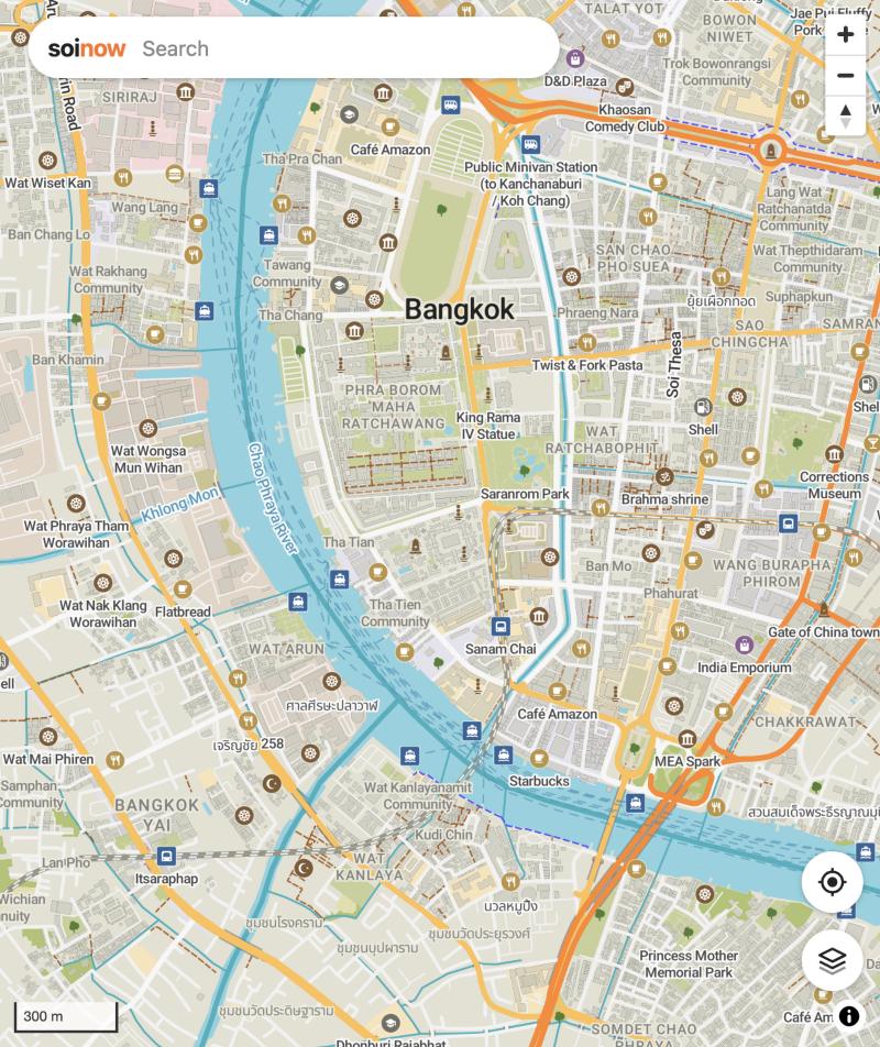
The map recreates Organic Maps' look in the browser: its colours, road widths, dashes and zoom levels, its icons and fonts, ported from Organic Maps' own style files. Buildings stand up in Organic Maps' isometric 3D, and tilting the map switches to real perspective.
Feature: Outdoors, relief and contour lines
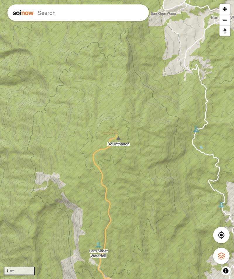
Organic Maps' outdoors style shows peaks, cliffs, waterfalls, caves and springs earlier and larger. Shaded relief and contour lines come from Copernicus elevation data, and hiking, cycling and metro routes can be laid over the map.
Feature: My position
Organic Maps' location button shows where you are and follows you until you move the map by hand.
Search
Feature: Search in Thai, English and German
Search names in any script, or a category word like "pharmacy", "Apotheke" or "ร้านขายยา": the nearest matching places come first, as in Organic Maps. Results appear as pins on the map, and a tap on a map icon opens its place card with type, cuisine and elevation.
Under the hood
Feature: Offline data
Vector tiles, elevation, routes and the search index are built from OpenStreetMap extracts into files and a PostGIS database, so the map runs without any outside service.