Map
Feature: Trains
Switch on "Trains" in the map layers to see Thailand's railway lines: the ones in service in blue (the BTS, MRT and Airport Rail Link in their own colours), those under construction dashed and planned ones dotted in orange, from the high-speed lines to Korat and between the three airports via Pattaya to the MRT Orange Line, Den Chai–Chiang Khong and Phuket's light rail. The lines into Laos, Malaysia and Cambodia are there too. Lines are named along their course, new ones with their state and opening year; tap one for its length.
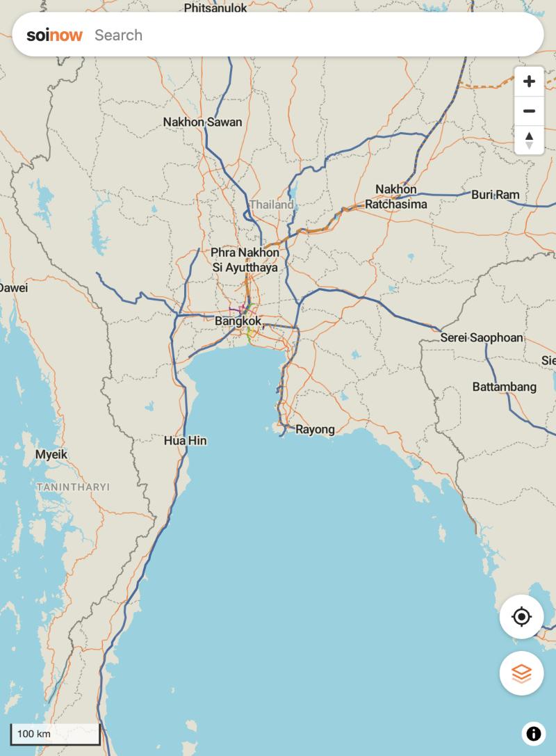
Feature: Railways like Organic Maps
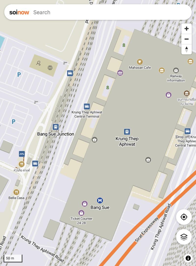
Railway lines are drawn as in Organic Maps: main lines from far out, sidings and yards lighter, spurs only close up, white dashes on the tracks, bridges and tunnels marked. Stations and halts show with Organic Maps' train icon and name from the same zoom as there, Bangkok's metro stations with its own icon.
Directory
Feature: Stations and lines
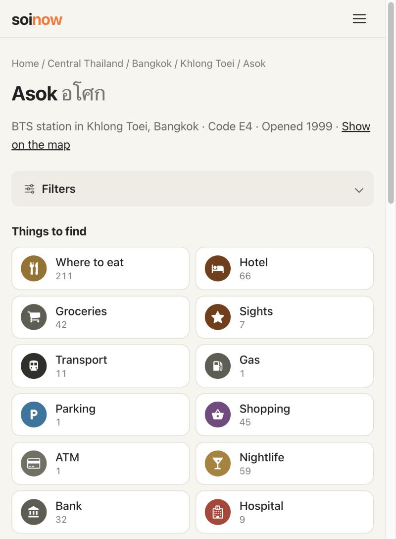
Every railway, BTS, MRT and Airport Rail Link station has its own page: what it is, its code, when it opened, the lines that stop there with the stations before and after it, where to change to another line, and what to eat, sleep or see within 500 m. Every line has one too, with its stations in order, its length and, for lines still being built or planned, their opening year.
Feature: Timetables at stations
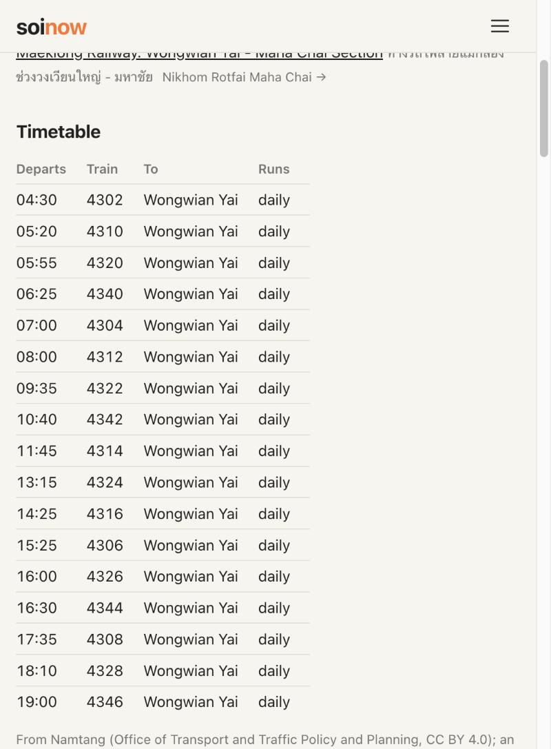
Station pages show how often trains run: the BTS, MRT, Airport Rail Link and Red Lines with their headways on weekdays and at weekends, SRT stations with their departures (an excerpt: the official data has reliable times mostly around Bangkok and on the Maeklong line).
Under the hood
Feature: Railway data
Tracks, stations and the lines under construction come from OpenStreetMap, station codes and English names from Wikidata, timetables from Namtang, the transport ministry's open data. Line lengths are route lengths, not the sum of every track.